Inside one of the world's great pilgrimages, invited to experience Arbaeen, a vicar ponders its perpetual lament Indian Magazine Applauds the Poetic Genius of a Kashmiri Bard Revering Karbala's Essence! Facilitating Arbaeen Pilgrimage: Pakistan Proposes Free Visas for Karbala-bound Travelers Are the Narrations of Karbala Reliable? A conversation with a Japanese clerk Sheikh Ibrahim Swada Interview with an American Orientalist Unity in Faith: Iraq and Pakistan Set the Stage for Pilgrim-Friendly Policies in Karbala and Najaf Pictures: Museum of the Holy Shrine of Imam Hussein How Iraqi people became the best hosts in history? - Part II How Iraqi people became the best hosts in history - Part I The center holds a seminar On the unseen dimensions of the personality of Imam Hussein, peace be upon him (Part One) Mr. Abdul Amir Al-Quraishi receives the delegation of the Iranian Arbaeen Committee From the sea to Al-Hussein sacred slaughter place Roofing the streets of the old city (views) A delegation from Karbala Center for Studies and Research visits the Media Department at Al-Hussaini Holy Shrine Karbala: Tarateel Sajjadiyya Festival With Pictures … Arbaeen pilgrims walking from the southernmost point of Iraq Publication of the eleventh issue of (The Week) newsletter Karbala theater produced by history and represented by reality (scenes) The committees of the International Conference for the Arbaeen visitation hold their session in preparation for the conference
KCSR'S Activities
10:19 AM | 2021-07-08 699
جانب من تشيع الشهيد زكي غنام
تحميل الصورة

Simulation of the ground water flow in Karbala Governorate, Iraq

Abed Hussain, Tariq

Civil Engineering Department, University of Technology, Baghdad, Iraq.

Ismail, Mueyad M.

Civil Engineering Department, University of Technology, Baghdad, Iraq.

Al-Ansari, Nadhir

Luleå tekniska universitet, Institutionen för samhällsbyggnad och


Abstract

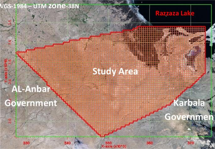
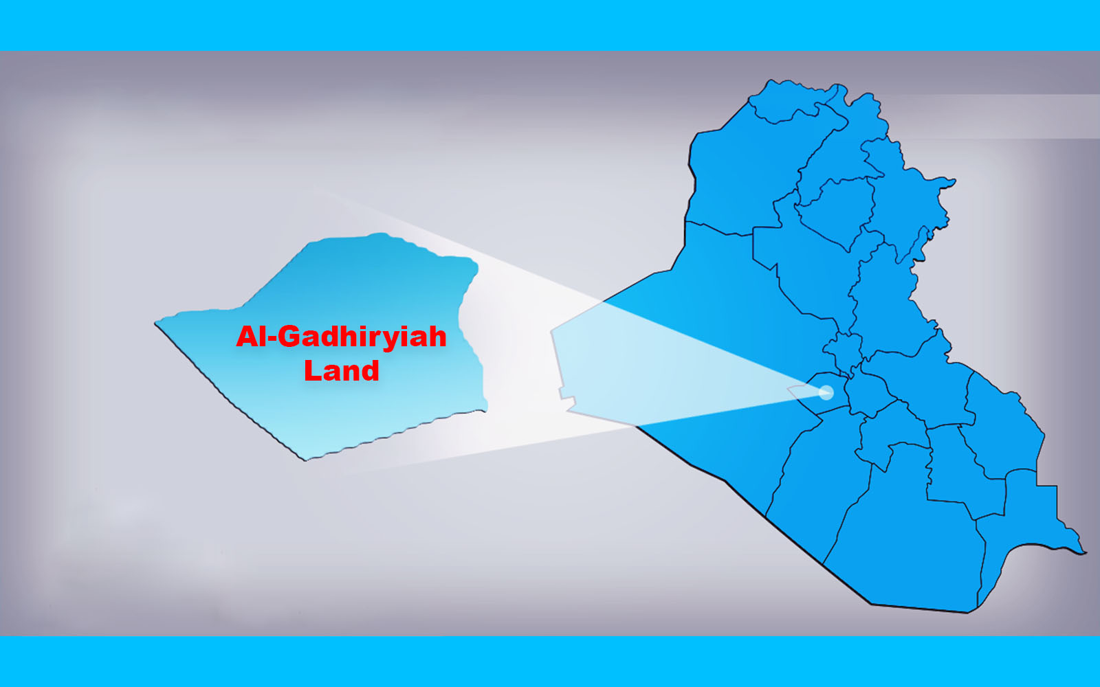
The investigation region is found in the central part of Iraq within the of Karbala Governorate, where it is located in the western part of the Governorate and Lake Razaza in the north of the region, while in the western and southern part of theregion is Anbar Governorate and geographically (43° 10′ 25.7″, 43° 39″ 0.3″) longitude and (32° 10′ 25.7″, 32° 36′ 25.7″)latitude. The area of study is about 2400 Km2.The groundwater modeling system (GMS) v10.3 program was used for themodeling of ground water in the area containing about 22 wells distributed throughout the study area and the discharge ofthese wells ranges from 7 to 100 l/s and the rate of discharge of these wells up to 36 l/s. The model was initially operatedwithin a steady state and after obtaining a match between the models results with the initial values of groundwater levels,the results of this case were adopted as inputs to run the model within the unsteady state. The model was worked within the sight of the above wells for 3 years and the results of the operation indicate a decrease in groundwater levels ranging from2 to 21 m distributed uniformly throughout the study area.


Facebook Facebook Twitter Messenger Messenger WhatsApp Telegram Viber Email
Related topics
2019-12-01 1221
Did You Know?
2019-12-01 1221
2019-12-01 1802
Did You Know?
2019-12-01 1802
2019-12-11 1312
Al-Gadhiryiah Land
2019-12-11 1312