Inside one of the world's great pilgrimages, invited to experience Arbaeen, a vicar ponders its perpetual lament Indian Magazine Applauds the Poetic Genius of a Kashmiri Bard Revering Karbala's Essence! Facilitating Arbaeen Pilgrimage: Pakistan Proposes Free Visas for Karbala-bound Travelers Are the Narrations of Karbala Reliable? A conversation with a Japanese clerk Sheikh Ibrahim Swada Interview with an American Orientalist Unity in Faith: Iraq and Pakistan Set the Stage for Pilgrim-Friendly Policies in Karbala and Najaf Pictures: Museum of the Holy Shrine of Imam Hussein How Iraqi people became the best hosts in history? - Part II How Iraqi people became the best hosts in history - Part I The center holds a seminar On the unseen dimensions of the personality of Imam Hussein, peace be upon him (Part One) Mr. Abdul Amir Al-Quraishi receives the delegation of the Iranian Arbaeen Committee From the sea to Al-Hussein sacred slaughter place Roofing the streets of the old city (views) A delegation from Karbala Center for Studies and Research visits the Media Department at Al-Hussaini Holy Shrine Karbala: Tarateel Sajjadiyya Festival With Pictures … Arbaeen pilgrims walking from the southernmost point of Iraq Publication of the eleventh issue of (The Week) newsletter Karbala theater produced by history and represented by reality (scenes) The committees of the International Conference for the Arbaeen visitation hold their session in preparation for the conference
KCSR'S Activities
03:33 AM | 2020-12-17 527
جانب من تشيع الشهيد زكي غنام
تحميل الصورة

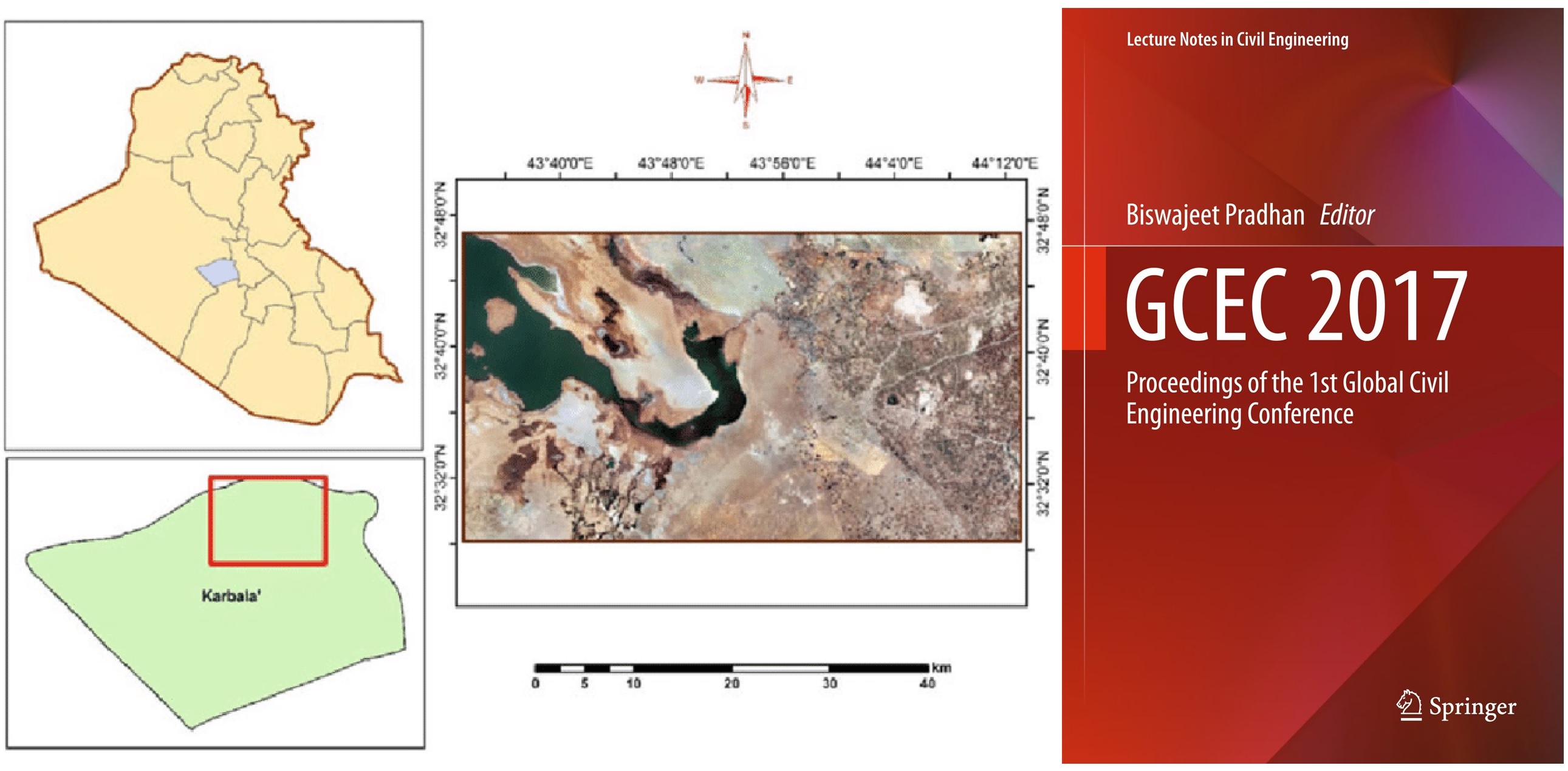
Books about Karbala... 'Land Use and Land Cover Mapping Using Rule-Based Classification in Karbala City, Iraq'

Ahmed Abdulkareem Ahmed, Bahareh Kalantar, Biswajeet Pradhan, Shattri MansorM, aher Ibrahim Sameen

Conference paper

First Online: 13 May 2018

Part of the Lecture Notes in Civil Engineering book series (LNCE, volume 9)


Land use and land cover are important and useful geographic information system (GIS) layers that have been used for a wide range of geospatial applications.


These layers are usually generated by applying digital image processing steps for a satellite image or images captured from an aircraft. Several methods are available in literature to produce such GIS layers. Image classification is the main method that has been used by many researchers to produce thematic maps. In the current study, a decision tree was used to develop rulesets at object level. These rules were applied and a thematic map of Karbala city was produced from SPOT image. The overall accuracy of the classification image was 96% and the kappa index was 0.95.


The results indicated that the proposed classification method is effective and can produce promising results.



Facebook Facebook Twitter Whatsapp