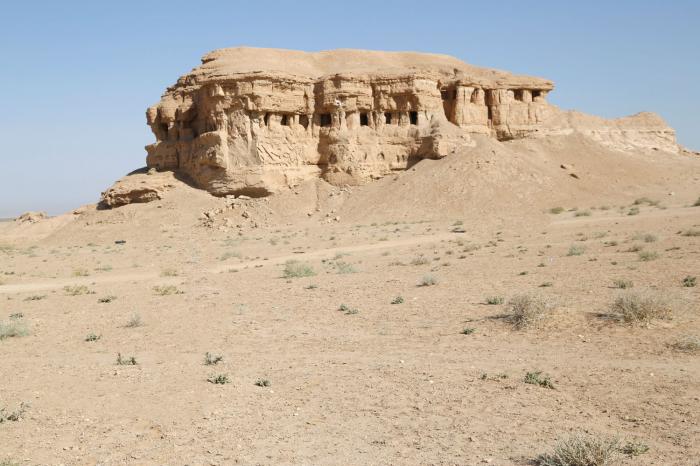
Al-Tarr caves are located on the right side of the road leading to Ein al-Tamar. They are 45 km away from the city center of Karbala on its south-west part, and 15 km to the north-east of "Al-Ukhaydhir Fort".
This complex of a number of caves, is surrounded by several valleys and Oasis, it occupies an important position on the southern Iraqi Arabian island, where it lies between Babel governorate from the east and "Al-Jazeera" desert from the west.
If we want a simple definition of Al-Tarr caves, we would find that they are among the geological formations that led to the fall of the western plain adjacent to the "Tarr" area and the height of the east side of it, this fall have gave the land alongside the Euphrates river, the name of "Tofouf", which means "The land overlooking the beach".
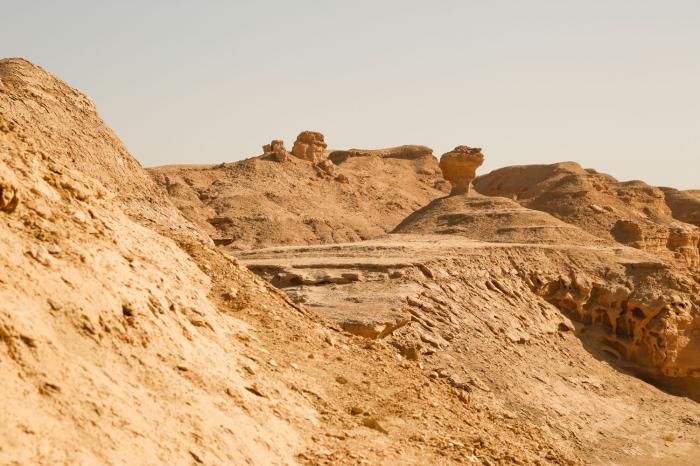
Al-Tar area appears in its forms, especially at its northern edge located close by the southeast part of Razazah lake, that it's containing huge rocky cliffs, are more like a mountainous islands floating in the sand that was once flooded by the lake of Razzaza.
As for the history of the formation of those caves, there are many field studies conducted on them, especially the Japanese mission that has examined the formation of these caves in the seventies of the last century, and concluded that their history extends back to before 1200 BC.
Source:
Archaeological Guide - The Holy City of Karbala: by The Karbala Center for Studies and Research.


