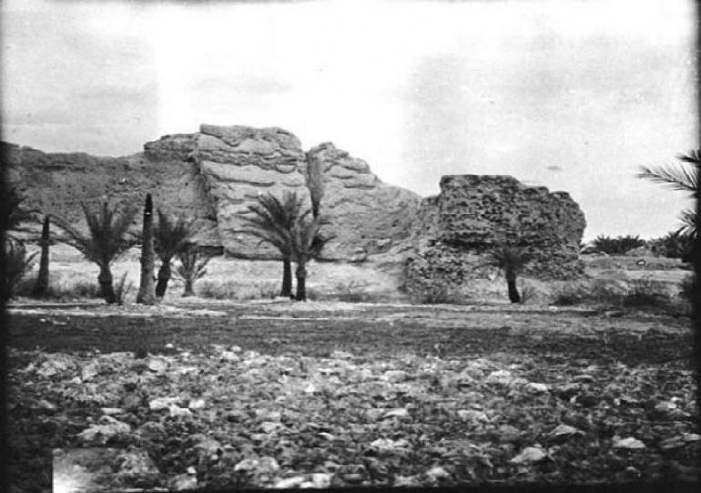
Since its establishment, the Karbala Civilizational Encyclopedia has set out to list and document most of the geographical sites located within the administrative borders of the holy city of Karbala.
The encyclopedia stated in its geographical axis, that "The historical sources and references have neglected the date of the creation of the city of Ain al-Tamr aka (Shatha) which was found to have preceded the birth of the prophet Jesus Christ "A. S."
"Ain al-Tamr was affiliated with the King of Banu Tannoukh, the founder of the Hira state in Quda'a in 138 AD, and then the Persians took control of it in the third century AD because it was one of the populated and fortified cities," the encyclopedia added.
"Shatha was one of the most important urban and religious centers whose history was linked to Babylon, Assyria, Sassan, the Semites, and the Arabs."
As for the location of the ancient city known as Ain al-Tamr, the encyclopedia indicated that “The site was not the same as now, as historian Yaqut al-Hamawi mentioned in his book (Mu’jam al-Buldan), that “Ain al-Tamr is a town close to Anbar, west of Kufa, near a place called Shafatha, which exports dry dates to the rest of the country.”
It is noteworthy that this location of Ain al-Tamr is located 92 km to the west of the holy city of Karbala, between Shafatha and Rahhaliya, as the area in which Ain al-Tamr is located has become at the present time, administratively affiliated with Anbar province, according to a field study conducted by the Karbala Encyclopedia.

