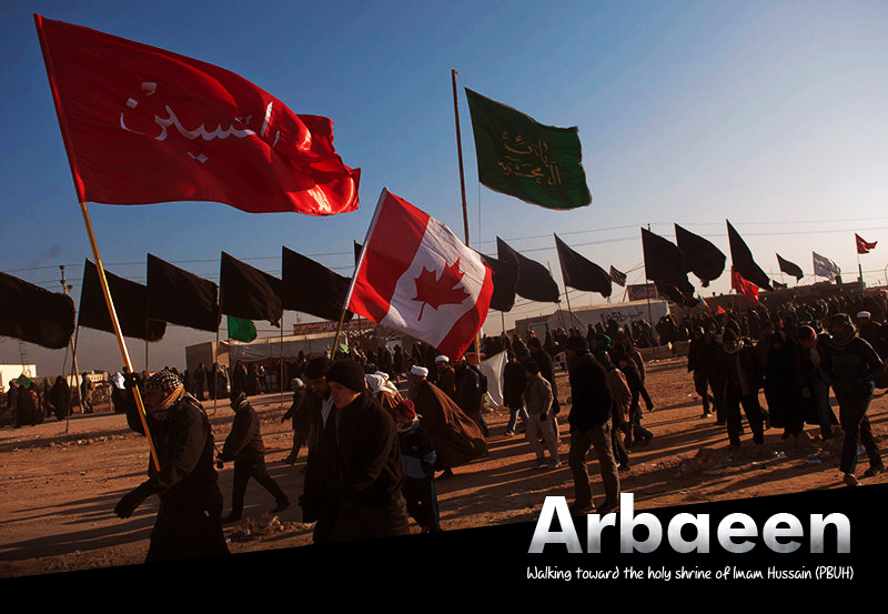
Last Thursday, the head of the Husseiniya Processions Authority in the Iraqi governorate of Diyala, Hussein Ali Taher, revealed that the "Global Positioning System" or "GPS" was used in the deployment of mourning processions for the first time in preparation for the upcoming Arbaeen pilgrimage.
In an interview with local news outlets, Taher said, “The Processions Authority held an extensive meeting with the security leaders in preparation for the Arbaeen pilgrimage,” pointing out that “more than 350 processions will be deployed starting at the 10th of the Islamic month of Saffar on roads that extend for more than (300) km in order to serve the pilgrims who heading on foot to the holy city of Karbala to perform the pilgrimage ceremonies."
"The deployment of processions on the roads will use GPS technology for the first time in order to locate them accurately," the local official added, "With the provision of each procession and its members with special badges,' and a hotline to contact the supreme operations HQ."
He indicated that "The adoption of GPS has advantages in identifying the processions and interacting with any event urgently, especially since each procession will be identified through a card that includes all the necessary information."
For several days, Diyala Governorate has been witnessing security preparations to finalize the procedures to the Arbaeen pilgrimage plan in terms of identifying the sectors and spreading the security forces, as well as forming an operations HQ that will run the whole plan until the end of the ceremony ends and the pilgrims return to their homes safely.

